Wisconsin Bicycle Routes |
|||
|
The Wisconsin Bikeway
|
|||
|
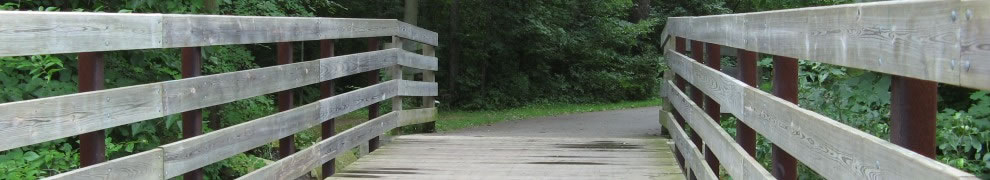
Around the time of the first Earth Day in 1970, Wisconsin mapped out a bike route running between Kenosha and LaCrosse. This innovation helped cement the view of Wisconsin as an environmentally friendly state. This view was reinforced by the role of Senator Gaylord Nelson as the father of Earth Day and the introduction of the first long-distance bike trail using an abandoned rail line into a bike trail. Coming full circle, the Sparta-Elroy Trail was incorporated into the bike route. Here are pdf copies of a flyer issued in 1972, thanks to Richard Haack:
|
|||
|
Over the next few years, the Wisconsin Bikeway expanded. Branches were added to Racine and Milwaukee. The state's second rail conversion, the Sugar River Trail was incorporated into the Bikeway. Between Reedsburg and the Wisconsin River, a second, northern route was added. A second bikeway running north and south, from LaCrosse to Bayfield was developed as well. This seems to have been done at minimal cost, consisting mainly of researching the route and then printing a flyer with cue sheets and small maps. One or two counties posted route signs. It probably generated some business for the communities the bikeway passed through. I rode it in the late 1970s with a group from the Schlitz wheelmen. Here is Ralph Daehn's account of riding it from 1976. The state distributed a brochure showing the routes. It was designed to be folded so it would fit into the window of a front bike pack. The bicyclist could then see a map of that section along with a cue sheet showing the turns. If turned one direction the west-bound directions would appear. If reversed, the east-bound directions would appear. I have enclosed the directions from the cue sheets of the Wisconsin Bikeway dating from the late 1970s, pick one of these:
I also include some notes, on the east bound cue sheets, on what has changed since. At some point, the Wisconsin Bikeway disappeared. In a recent Google search, the first five references to it were all to this site. It is not clear why Wisconsin lost interest. It might be attributable to simple bureaucratic change, to an emphasis on bike trails rather than identifying bike-friendly roads, or to the road rating system developed for the Wisconsin State Bike Map, leading to the discovery that there was no way to cross the state without using roads marked as not recommended for bikes. This decision seems ironic because in recent years other states have followed Wisconsin's lead in establishing official bike routes. Often these are numbered with signs marking the route. Follow the links for information on the New York and Pennsylvania bike routes. Recently New York's governor announced plans for five new marked bikeways in addition to the existing three. Several of the New York routes are to link with those in Pennsylvania. Recently there has been a revived interest in developing a national bicycle network. Besides supplying a route that bicyclists can follow, official bike routes have several other benefits. For one, the signs alert drivers that bicycles are on the road and may make them more aware, increasing safety. For another, the route may encourage transportation planners to improve facilities for bicycles, particularly in encouraging wide paved shoulders. |
|||